Five (5) weirdest weather occurrences
24th of March 2022

Nature is breath taking. With exactly the right conditions, it can create some of the wildest weather that looks straight out of sci-fi in this list I will be showing you five of the weirdest weather occurrences in the world.
5. Non-aqueous rain

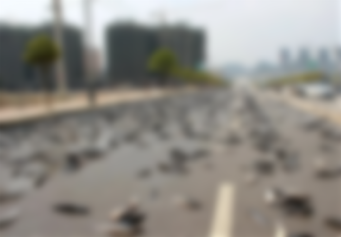
For centuries, there have been stories of raining animals, quite literally fish falling from the sky. Now, although extremely rare, this is a real thing. I
in Honduras, there is a yearly weather occurrence called Lluvia de pesos where fish fall from the sky. Some believe this to be a blessing from God providing food for the poor. Although no one knows exactly how it occurs, the most common explanation is that water sprouts which are basically tornadoes on water vacuum up the fish from the sea and throw them on land.
Other explanations are that the fish never actually fall from the sky, instead they are wash up on land from heavy rainfall.
4. Firenado

This rare extreme weather occurrence is basically a tornado made from fire. As if tornadoes weren't scary and deadly enough, nature is always going that one bit further.
These hell tornadoes occur when trees, a hillside or flames force air to shift against competing air temperatures and speeds. While some died out pretty quickly others can travel and keep getting worse if the heat is able to stay afloat.
One of the deadliest examples of a firenado happened in 1923 in Japan. In the aftermath of a massive 7.9 earthquake, survivors of the disaster gathered together in an open space but a massive firenado occurred and swept through killing thousands.
3. Brinicle

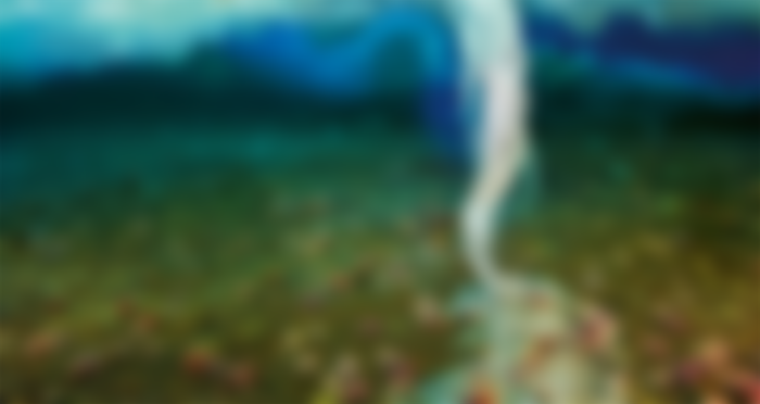
This weather occurrence is amazing to look at but extremely dangerous if you were to touch it. The brinicle is caused by cold sinking brine. This happens when heat flows from the warmer sea up to the cold air forming new ice from the bottom. Since the brine water is more dense and colder than the rest of the sea surrounding it, it sinks and freezes creating this amazing spectacle.
When a brinicle hits the seabed, it leaves a deadly web of ice that freezes anything that it comes into contact with including sea urchins and starfish.
2. Mammatus clouds

Amazing to look at, very rare and completely unexplained. It looks like hundreds of white balloons floating in the sky, and if I didn't know any better, I would assume it was photoshopped.
Scientists don't know how they form but have several theories it could be due to a cooling of a part of a cloud which causes it to drop down an unstable cloud where cloudy air doesn't mix fully with the dry air or possibly gravity waves which move part of the cloud away.
1. Roll clouds

If you saw one of these roll clouds in the distance you'd probably get up and run it does look like a giant tsunami about to consume the land.
However, what you should do is pull out your camera and take pictures. These clouds are probably one of the coolest looking weather occurrences and are usually formed by cold wet air flowing out to sea breezes or cold fronts and they seem to rotate around the horizontal axis.
If you like to see one in real life, they regularly appear around October in Queensland Australia thanks to the sea breezes that develop over to Cape York Peninsula.
Disclaimer: This article and all material used in this content is used for entertainment and educational purposes only. No copyright infringement is intended.
All images used have been cited


There are many different natural disasters in the world. Our technology is not enough to cope with these natural disasters. Nature is still stronger than us.