If you ask me, even to experts, it is still unclear why it was created. Some argue that it represents Moses' vision of the Promised Land.
Thirty kilometers south of Amman, the capital of Jordan, today is the Arab village of Medeba (Madaba). Right here, among the remains of the biblical city, destroyed and abandoned for centuries, under the ruins of an old Byzantine church built during the reign of Emperor Justinian (527-565 AD), the oldest map of the Holy Land was found. Since its discovery, the Medebe map has been the oldest geographical representation of the Holy Land preserved to this day. Among the ruins of Medeba, five more Byzantine churches were found with equally beautiful and imposing mosaics. That is why Medebe was named the "city of mosaics". However, what attracts the most attention is the Medea map with the oldest map of the Holy Land.
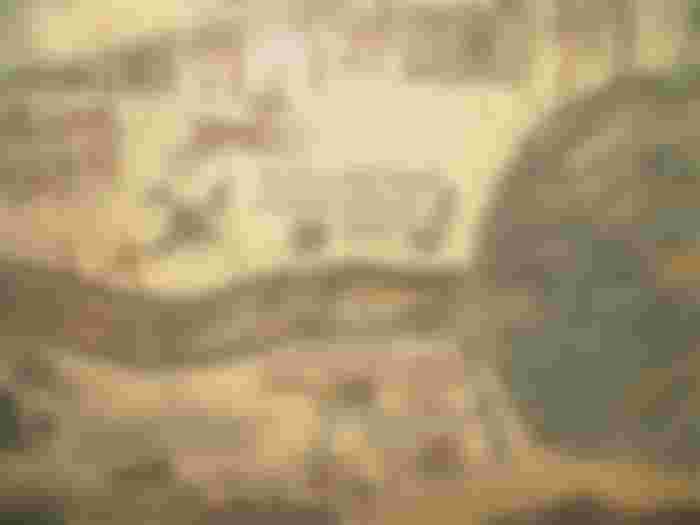
The Medebe map in its original form was of impressive dimensions (21 x 7 m) and contained a geographical representation of the territory from northern Lebanon to the Nile delta in southern Egypt. The mosaic was made of more than two million stones! To assemble such an extensive mosaic, a team of three workers working 10 hours a day and under the supervision of a top artist, would take about 186 days to assemble it!
And although only a little less than one third of the original mosaic has survived to this day, the Medebe map is considered to be the largest and most accurate map of the Holy Land from the time before modern cartography was developed.

Unlike modern maps, which are all oriented to the north, the Madaba map is oriented to the east, as indicated by the Jordan River, which flows from left to right. Using a palette consisting of colored stones and glass, the artist ingeniously depicts biblical sites, regional names and events marked with over 150 inscriptions in Greek. There is Jericho crowned with palm trees, Jacob's spring in Shechem, the oak of Mamre in Hebron, the river Jordan and the depiction of Jesus' baptism in it, as well as the territories of 12 tribes of Israel.
East of the Jordan the map shows a lion chasing a graceful gazelle, fish swimming across a river in the opposite direction from the deadly Dead Sea; two ferries to cross the river, ships sailing the Dead Sea, one on oars, the other under sail. It is interesting that on the map there is no part of the land that goes into the Dead Sea, which is why it is assumed that at the time of the map the water level was higher and that this peninsula did not even exist.

Despite all the details, the dominant focus of the artist is on the Holy City, Jerusalem, as it was at the peak of the Byzantine period. The map shows a magnificent bird's eye view of the city with its walls, gates, main streets and 36 most characteristic buildings: the Damascus Gate, the Gate of St. Stevan, the Golden Gate, the passage to Mount Zion, the Fortress (Tower of David), the Church of the Holy Sepulcher, the main entrance to the city of Cardo Maximus and many other buildings that are clearly recognizable.
Although only one-third of the original map has been preserved, the Medebe map provides important information about 6th-century landmarks, making it one of the key elements in scientific studies of the appearance of Jerusalem after its destruction and restoration in 70 AD.
Although much is known about the Madaba map, it is still not clear why it was made at all. Experts have different opinions on the reasons why the church authorities would order such an expensive piece of sacred art to decorate churches in one, nothing special, in one, also nothing special, provincial city of the Roman Empire. Among the different opinions, the following explanations (and doubts) are most often given:

The map served as an aid to the pilgrims in planning their journey to the Holy Land. However, at the same time, it is stated that such a map would be of little help to passengers, because they could not take it with them, and it is known that there were already smaller, easily portable maps and local guides.
The map represents Moses' vision of the Promised Land. The fact is that Moses observed the Promised Land from the top of the nearby mountain Nebo, and Madaba was the seat of the diocese to which Mount Nebo also belonged.
The map was supposed to deepen the spiritual experience of the believers during the liturgy. This conclusion is indicated by the fact that the mosaic, originally, was located on the floor of the church exactly between the altar and the faithful. In the end, to be completely honest, of all the flaws, even the oldest ones, my favorite are those maps with treasure, I hope to find one.


Fantastic and amazing map of Madaba. Thanks for the interesting article, one learns something new every day.