Let me take you around the municipality of Lingayen again and show more about what our town is to offer. Recently, I gave you a virtual tour of the Maramba Boulevard Park, and it was followed by the Capitol Grounds and the Provincial Capitol Building, as well as the facade of Malong Building. This time, we'll stroll further to some parts of the Capitol Grounds, and give you some bits of trivia regarding the history of our province.
Lingayen Gulf Landings Shrine
Lingayen Gulf encompasses the coasts of several towns (and two cities) of Pangasinan, and some parts of La Union. The area became a strategic spot during the World War 2 where Americans has landed led by General Douglas McArthur. Prior his landing to Palo, Leye in 1944, finally, he returned to the Philippines via Lingayen Gulf back in January 1945.
I became more aware about the Americans landing in Lingayen Gulf back in 1995 when our class went to the beach and saw loads of ships by Americans, as well as soldiers in parachutes. Since that time, Lingayen Gulf Landing was commemorated, and after about a decade, the shrine has inaugurated.

The shrine was constructed way back in 1994, and if I am right, the commemoration of the Lingayen Gulf Landing was in January 1995. Rehabilitation was done in 2009, which was inaugurated by then Governor Amado T. Espino.
In this shrine, war planes and amphibians during World War 2 are displayed.



A number of amphibian tanks are also displayed in the open museum.


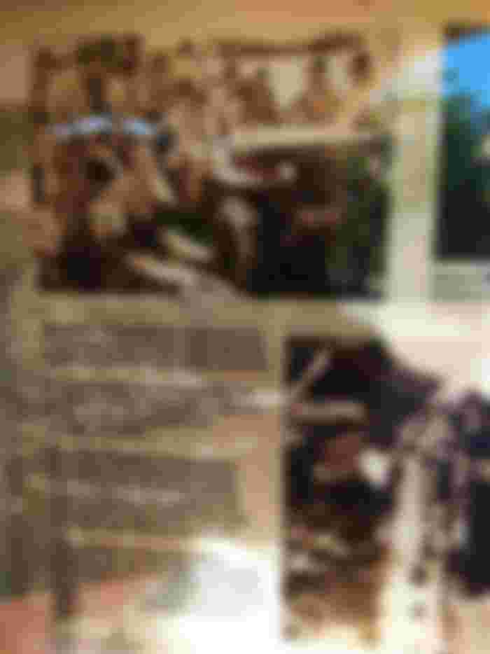
Some photos and artifacts during the World War 2 are also displayed in the museum.


The map of the areas surrounding the Lingayen Gulf, and the routes of Americans during World War 2. The stretch of the shores include the towns of Lingayen, Sual, San Fabian, Dagupan, and some parts of the provinces of Pangasinan and La Union.

The landing of the Americans in Lingayen Gulf played a huge part to the freedom of the country against Japanese occupation. It is a strategic move for the Americans which led to the defeat of the Japanese troops during World War 2.

The Provincial Capitol Building during the World War 2, which was constructed in 1918. Due to the severe damage during the second World War, it was reconstructed during the latter part of 1940s, and rehabilitation in 2008.


The picture shows the struggles of the Filipino civilians, even the American troops against the Japanese.

The sad views of the war torn town and beach. Lots of properties are burned. Battleships are all around.

The town of Mangaldan is currently more than an hour of travel from Lingayen, and is among the towns encompassed by the Lingayen Gulf. Binmaley is a neighbor town of Lingayen though, and the current Baywalk stretches from Lingayen to the coast of Binmaley. The towns of Mangaldan and Binmaley is also where Americans soldiers has settled to prepare their weapons.


It's sad to see many homes were destroyed. The once peaceful life of the locals was disturbed, and gave them so much hardships. So many deaths, either civilians or Filipino and American troops. Some American soldiers are buried at the sea.


Oil canvas of events during World War 2 which Filipinos are waving the American flag.

Preparation of soldiers before the Lingayen Gulf Landing. It was in a local newspaper in Spanish language. Philippines was once a colony of Spain.


Some of the equipments by the American soldiers were left at the shore. They're preserved, and now on display at the museum.

Yes, Australians helped in during the war to defeat Japanese soldiers, along with Filipino and American troops.

West Central Elementary School became an office for General Douglas Macarthur. That building doesn't exist now. However, a new building was constructed with almost the same design.

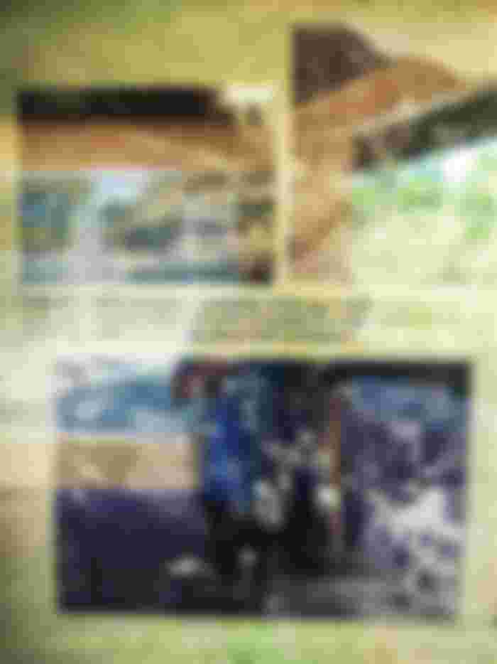
The view of Dagupan City after the World War 2. The damage is immense, and that tank right there still exists now. I think that's Galvan Street or Zamora Street area now.

What happened the days after the landing, including their travels, and the sabotage by the guerillas.

The appearance of the municipal hall of San Fabian that time. It doesn't exist now, and I'm not sure if the current municipal hall is in the same location.

Damortis is currently part of La Union, and the border of the said province and Pangasinan. I never thought a train station already existed during the first half of 20th century. Too bad the train station was destroyed, and not such station exists there now. The town of Rosales looks desolated then, and flattened due to the war.

The church was converted into hospital. It was filled by wounded soldiers and civilians.

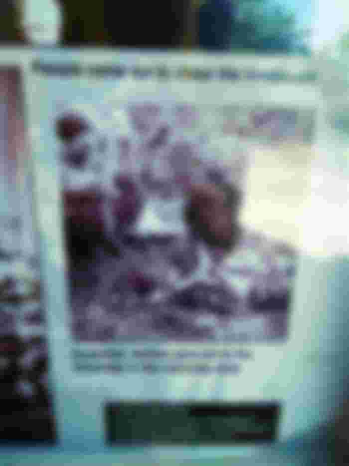
Some of those Filipinos are cheering for the Americans as they fight against Japanese soldiers. It's never a secret that Japanese soldiers has been harsh to Filipinos when they invaded the country.
The picture shows doctors treating a wounded man. Unsure if it's a Filipino or an American soldier, or simply a civilian.

Finally, after years of occupancy, war, and abuse of the Filipino people, Japanese soldiers has surrendered to the Americans led by General Tomoyuki Yamashita


At last! A pact has been done for the sake of peace, and the end of Japanese occupation of the Philippines.
It's good to learn about history, and that every war will cost the lives of thousands or even millions, either soldiers or primarily the civilians. Peaceful lives has been disrupted due to these wars. It's sad that it has taken its toll to the innocent people.
Thank you for reading, and huge thanks to my sponsors below:
























I went to museum once in my life time.. and I loved it. The ancient things worth millions 🥺😍