Find Hidden Gems When Travelling to Village
Eid al-Fitr will be felt by Muslims all over the world. Everyone rejoices in welcoming the holiday, including in Indonesia. There are several traditions that are carried out such as takbiran and torch parades, making a braised chicken in coconut milk, making ketupat (it’s like steamed diamond-shaped rice), and the tradition of returning to the house of an older person or older family (Indonesians usually refer to this as “mudik”).
Mudik is also interpreted as a temporary move from a big city (usually, the city of Jakarta, Bekasi, Tangerang, Depok) to other cities or places like in West Java, Central Java and East Java with the aim of meeting the family. Actually, almost all regions in Indonesia carry out mudik. But, the noise isn’t as popular as on the island of Java where they get coverage through television to find out the traffic flow and congestion that occurs. This mudik lasts for one week, up to two weeks (depending on school, office and government holiday policies). When the holiday time is up, they will all return to their respective cities and carry out their activities as usual.
Mudik on the island of Java is usually dominated by trains, cars and buses. The tourists or pemudik (or people who carry out mudik), usually go to crowded places such as terminals and stations (if you have a privately owned car, then you will go straight to the destination). In this case, we will talk about mudik by car, so the traffic density will be filled by private cars and buses arriving from the terminal.
Mudik by car provides an unforgettable experience because you are free to choose any route and rest whenever you are tired. Overcrowding and traffic jams are bound to happen because everyone goes the same route. So, this is why you must carefully choose the time to go home and strategies to find the best way.

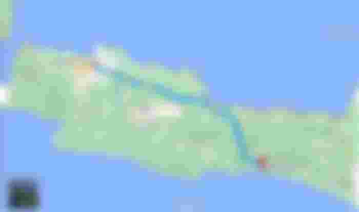
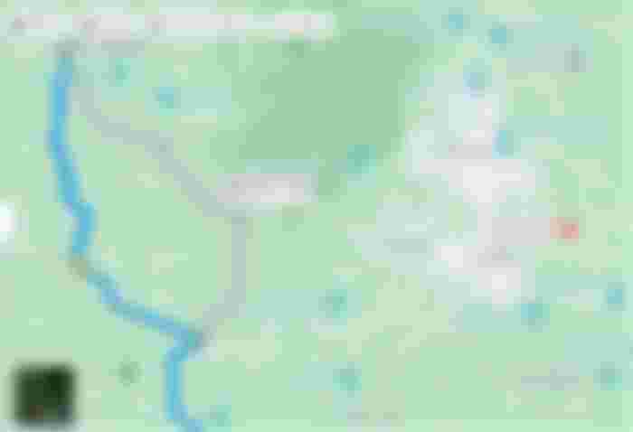
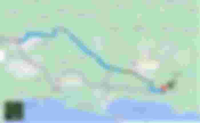
When mudik to my place in Cilacap, I usually use the north coast route or better known as Pantura (see map above) where after a little crossing the border of Central Java, I immediately draw a line to the south past the west side of Mount Slamet & heading towards the south coast and almost approaching Jetis beach. That's where my grandmother's home and village are. So, this trip requires a distance of about 377 km with a time of about 7 hours (without breaks and stops).
However, I didn't try to be that naive when the mudik season was busy. Density and congestion will inevitably occur due to the accumulation of vehicles at the same time. So, I have to be wiser to choose the right route. So, here's the route I'm going to share and I'm trying to get through this area. This route divides from north to south. so, it can be called a combination of north and south lanes.
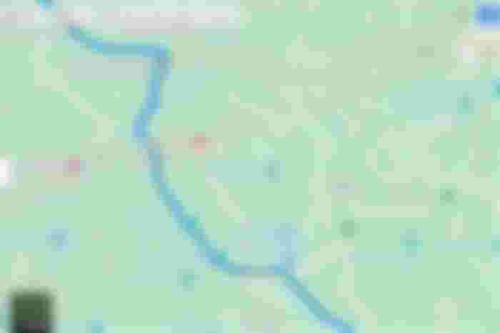
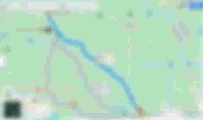
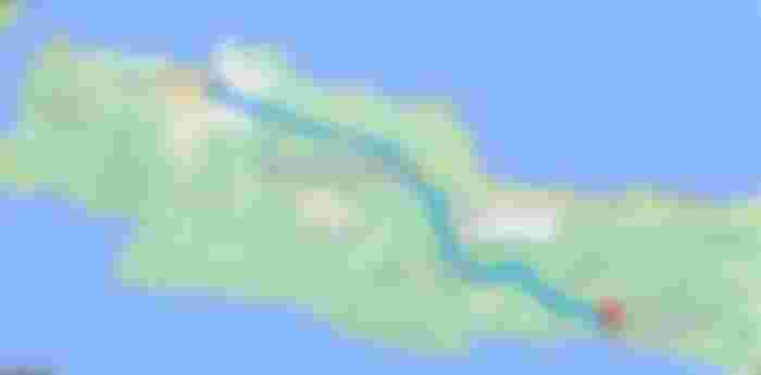
Below is an alternative route that I have to try. The difference with the above, we will exit at the Kertajati toll gate and then continue to the south, towards Jatiwangi. From Jatiwangi, then we continue the south again towards the city of Majalengka.

Then from Majalengka City, the journey continues south towards Maja via the Cigasong route. Here, the journey begins to feel uphill because Maja is a hilly area located on the west side of Mount Cereme. Here, there is also a beautiful hill panorama called the Panyaweuyan Terrace. So, if you have more time, you can stop by here and feel the sensation of nature.

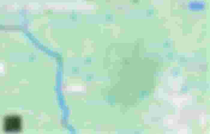
From Alun-alun Maja, the journey continues towards Talaga through the Wanahayu, Cihaur and Banjaran areas. The road conditions here are a little damaged, but still comfortable enough to pass at a moderate speed. The road that is passed is also quite winding with a moderate incline, not so steep.
From the Banjaran area, the trip will go back downhill and flat when it reaches Talaga. At Talaga, I was presented with a view of beautiful rice fields, smooth asphalt and a hilly background that perfected the trip during the day. I feel like speeding up the time to get to the final destination with smooth asphalt. But, you might regret it if you miss here too soon.


After passing through the plains of Talaga, I continued my journey to Kawali. To get to Kawali, I have to pass through a Panawangan where the road is quite winding, a bit tiring but I'm calm enough that the incline here isn't steep and quite friendly. The distance that I traveled from Talaga to Kawali is about 37.6 km.

After arriving at Alun-Alun Kawali, I continued my journey again. After that, the journey tends to decrease and before arriving at the Selacai Village Hall, I have to turn left to speed up time to get to the city of Banjar. The road here is really quiet but has smooth asphalt. This route is the only fastest alternative to Banjar bypassing the village of Cipaku, Sukadana and Cisaga.

After reaching Cisaga, it means that I have reached Banjar City. I'm taking a break here to unwind. This is a small town but has a nice natural view, so it's good for refreshing. To fulfill that need, I entered Wana Wisata Situ Mustika which isn’t far from the main road access to my final destination. After I entered, this tourist spot really presents a good natural view, I don't regret wasting my time here. I thought that I was lucky to pass this way.


After that, I continued my journey from Banjar City to Nusawungu, Cilacap. This is the final goal that I must achieve so that there is no longer any pause. This final journey takes 3 hours (in normal time) with a distance of about 120 km. I can't comment much here because I think almost 90% of the roads here are very smooth and I feel comfortable that there are no shock waves to make my car vibrate. Although there are some, it's not a big problem.

By arriving at this endpoint, then my mudik journey & discovery of the beautiful scenery hidden in every journey is over. If I count from start to finish, I have covered 403 km in about 11-12 hours (I need rest to recover stamina and mood during the trip). So, the travel time at the bottom of the map isn't accurate. Of course, it's really tiring. But, it pays off with a great view.

Thank you for following the journey of my mudik story. Hopefully, I can share my other experiences that may be more interesting.
Image Sources :
1. Lead Image: Unsplash | Alex Jumper
2. Every map image that I use, comes from screenshots of my Google Maps
3. Some destination spots, I took pictures from Google Maps Review :
a. Panyaweuyan Terrace
b. Talaga View
c. Wana Wisata Situ Mustika
