A gigantic work in the service of humanity. Scholars of geology believe that a million years ago, where the Suez Canal now stands, there was a natural strait between the Mediterranean and the Red Sea. They have been able to establish that the terrain of the isthmus is of Quaternary origin, i.e. recent. That ancient strait could not serve the men who had not yet appeared on earth; when they appeared and invented navigation, a little bit the maritime deposits, a little bit the contributions of the more eastern arms of the Nile delta, and perhaps the seismic events had filled that passage. The ancient strait had become an isthmus, leaving as its memory the depressions of Lake Timsah and the Amari Lakes. The subjects of the Pharaohs, who communicated with the Mediterranean via the Nile, felt the need for a way to the Red Sea too; and, from those engineering masters who were, they dug a channel that, via the Amari Lakes, connected the Red Sea to the easternmost branch of the Nile delta.
A canal is something different from a strait: to close a strait requires the work of geological eras; to let a canal die a few inept governments are enough. The canal of the Pharaohs, the object of subsequent treatment by the Romans and then by the Arabs of the golden age, was eventually left to dry up. After the Indies road was found around the southern tip of Africa, it was thought, especially on the French side, of a possible shortcut through Suez. France had excellent ports on the Mediterranean: passing through the Red Sea it could have beaten the English ships that made the round trip through Africa. This thought was not foreign to Napoleon during his expedition to Egypt.

In 1861 the first act of the concession in favour of a Universal Company of the Suez Maritime Canal was signed with Egypt, in a second act, signed in 1856, it was established that the Canal should remain at all times a neutral passage, open to all merchant ships, without distinction of individuals and nations, provided that transit fees were paid. The concession period was to last ninety-nine years from the date of opening. The Company's capital was set at 200 million francs divided into 400,000 shares (the work than costing more than double that amount). A company for the study of the Suez Canal had been set up in Paris since 1816 and the Italian engineer Luigi Negrelli was called to join it. He drew up the project where the Pharaohs and Napoleon had failed. Negrelli's project was approved by the Study Society set up in 1846, when the age-old question of cutting the Isthmus of Suez, which had always separated the Mediterranean from the Red Sea, was resumed, forcing European ships to circumnavigate Africa.

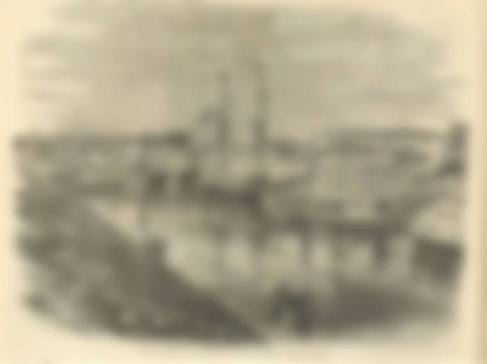
The work entrusted to the Universal Company of the Suez Canal and financed thanks to the skilful diplomatic work of Ferdinand de Lesseps, vice-consul of France in Alexandria, the first pickaxe was given 11 25 April 1859, in Porto Sald. The Canal was opened on 17th November 1869, with grandiose celebrations in the presence of the most powerful people on the planet. With the opening of the Canal, the world's geography was enriched with a new element, an instrument of progress available to all peoples and with this in mind, in 1888 the Convention of Constantinople matured, approved to allow free passage both in times of peace and war. The Canal is 163 kilometres long and this is the only numerical data that has remained unchanged. The width, which was at the beginning of twenty-two metres, has been increased to over one hundred. The initial depth of eight metres was increased to fourteen.
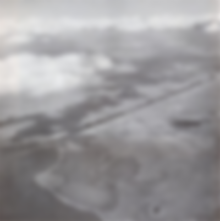
An eleven kilometre-long side road (Faruk By-Pass) was created in the northern part of the Canal to facilitate convoy traffic. In 1913 5000 ships for 20 million tons passed through; in 1951 11 thousand ships for 80 million tons passed through. Passengers in transit now far exceed 1. 600 thousand nodded, and ships from over 40 different countries pass through it every year. Over the years the Canal ended up being the object of contention first between the colonial powers and then between them and Egypt. Egypt came to nationalize it, triggering the harsh reaction of the United Nations in 1957 and the dispute between Egypt and Israel. It reopened to international shipping in 1975 and was extended in 2015, and today the Canal is the largest and most crucial trade route.

This is really a great job