I never really expected that I am going to enjoy my trip in Aurora Province. It started out at the Balete Eco Park where we visited the Millennium Tree, followed by the town park of Baler Town, and finally, the Hanging Bridge in Brgy. Zabali. The last tourist destination we visited in Baler is Ermita Hill.
Ermita Hill served as the refuge of seven clans when a tidal wave ravaged the town of Baler. Those seven clans survived the washed out when they reached the hill. According to Baler's website, the tidal wave remains a mystery because there has been no signs of typhoon, and neighboring towns with the same shore line never experienced the huge waves. @ARTicLEE explained further in his post.
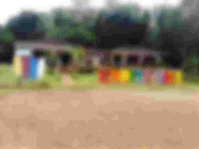
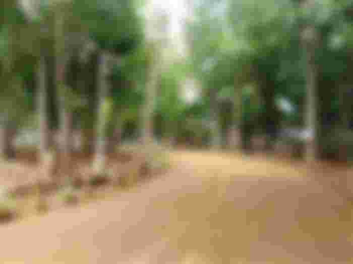
Ermita Hill is now a tourist destination, as it has a park with heaps of trees in different kinds. Of course, there's also a souvenir shop where you can buy anything that you take home like "pasalubong". The road to the main park is quite steep so make sure your vehicle's machine can handle going up. Anyway, the road to Baler (and even to the town of Dilasag) is steeper.
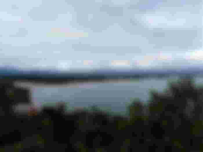
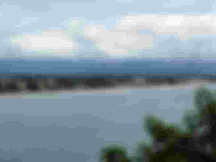
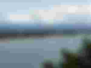
There are a number of view decks or stations where the town of Baler can be viewed, as well as Baler Bay. The mouth of Tibag-Sabang River to the sea can be seen from Ermita Hill, even the hanging bridge which we visited prior. Technically, the Hanging Bridge and Ermita Hill are in the same barangay (village).
It's a breath of fresh air while at the view deck. Aside from the beautiful view of the town proper can be seen above, the breeze is something to enjoy. I'm unable to see the sculptures of the seven families depicting how they climbed to the hill. Otherwise I could've captured pictures of them.
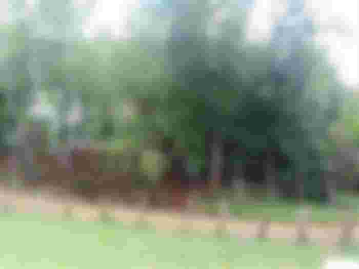
It's quite cloudy at that time, and thankfully, it didn't rain. After our visit at Ermita Hill, we went to the house of our friend's close friend. We had our lunch there though we almost got lost to find their home.
Time to go to Dilasag, our friend's hometown. I searched for the town's location and it's the northernmost part of Aurora. We asked our friend who lives there how long will the travel be, and we were shocked it is around 3 or more hours. Looking at the map, Baler is quite distant from Dilasag.
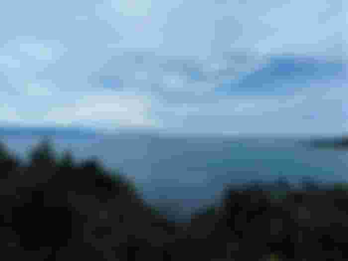
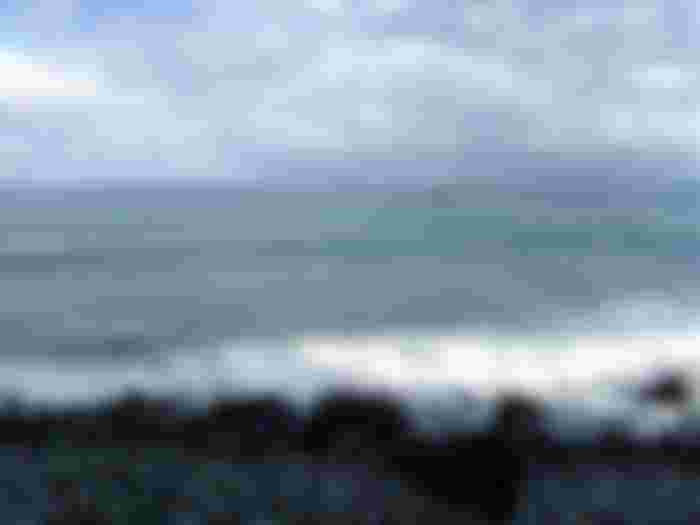
Near the town of Baler, we saw a wonderful view at the town of Dipaculao. Since the road to north is often coastal and mountainous, we have to go down to the shores.
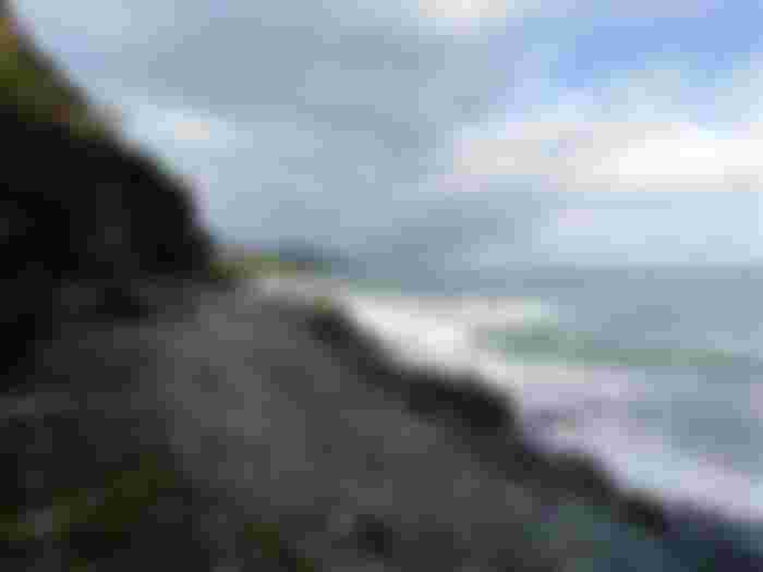
The top picture is at the northern area, and the road can be seen at the side of the mountain. There are few vehicles passing at the road and I feel like I am in a different world. So peaceful but I liked it. Feels like I experienced serenity even just for a bit during the stopover.
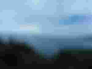
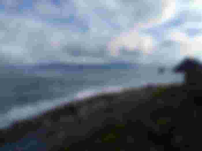
The second picture bounds to the south with some rock formations there. It seems like raining at the town of Baler but it never reached where we are located at that time. I can't remember seeing anyone around to look after the tourists there. No vendors too.
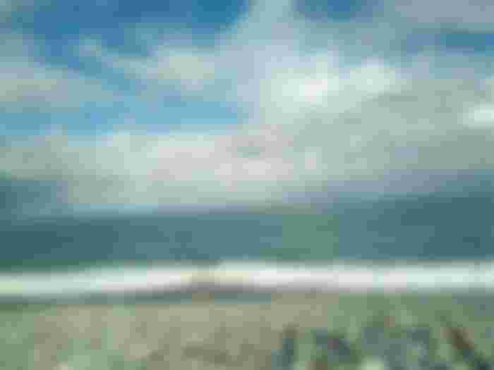
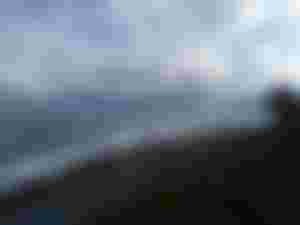
The water looks so clear and clean. It's not often visited by tourists perhaps. Apparently, the shores are rocky. It's kinda rare because most shores are sandy. I have been to a pebble beach in Luna, La Union but the stones here are quite big. The water is cleaner here though.
Nobody drenched in the water since it's merely a stopover. We just took pictures, and enjoy the fresh air coming from the sea. Meanwhile, the beach is facing Pacific Ocean. Perhaps when we go back to Baler, we might spend some time at the beach. However, my wife doesn't want to go back because of the extremities of the road to Dilasag. I told her that the road to Baler isn't as scary as the road to Dilasag. Lol!
Thank you for reading, and huge thanks to my sponsors below:
Huuuy ang ganda ng dagat. Dagat na dagat na ako kaso ang lalaki ng mga alon dito sa amin eh