0
35
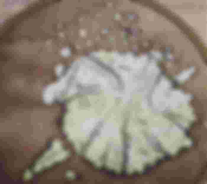
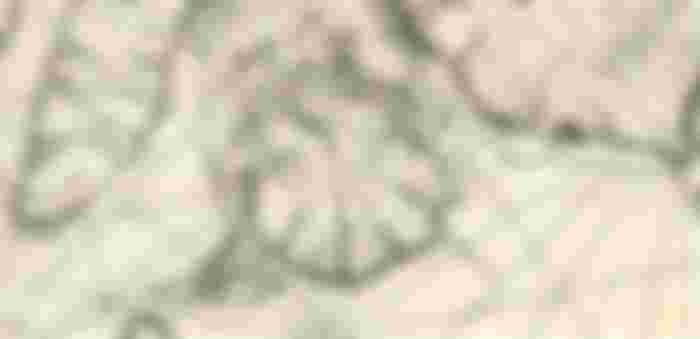
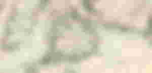
Old Map of the Philippines dating back 1752(mid 18th century),which highlight BOHOL island,showing the early parokyas(parishes) of that time including our very own PARROQUIA DE HAGNA.
The following early parokyas mentioned in the map are:
1.) BACLAYON
2.) LOBOC
3.) DAUIS
4.) HAGNA(Jagna)
5.) TALIBONG(Talibon)
6.) INABANGAN(Inabanga)
Source: from 'Carte des Isles Philippines' by French Nichlas Bellin