Which is the strangest shaped country?
1) In this case, I must say the name of India.


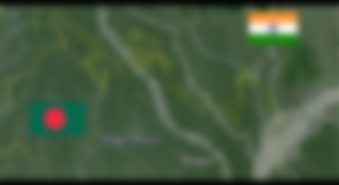
The territory of the eastern part of India is connected to the rest of the country by a very small piece of land known as the Siliguri Corridor. In its narrowest part, it is only 26 kilometers (17.6 miles) wide.

And if you look at the northern part of Bangladesh, you will see many small palaces there. The matter is very complicated


The white lines are actually a single border line.
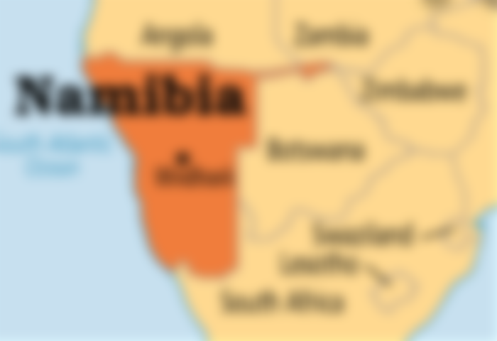
2) Namibia (see northeastern part)

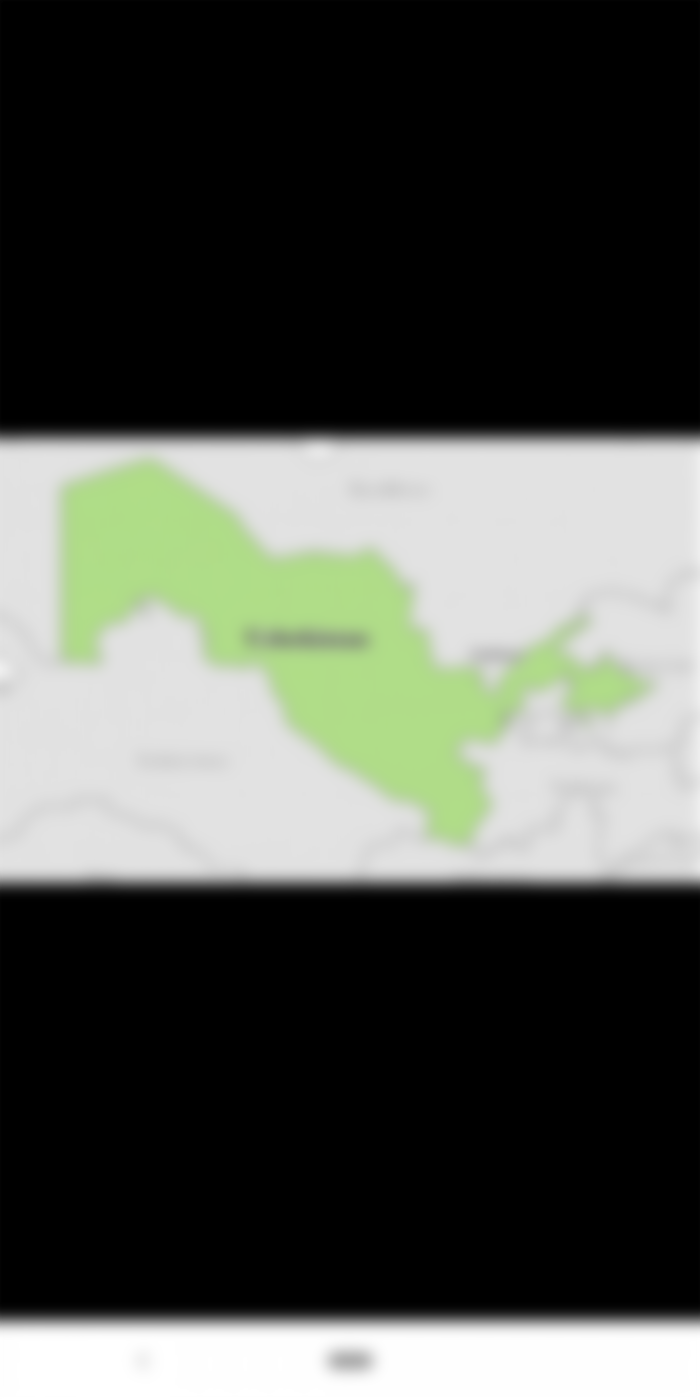
3) Uzbekistan (note the eastern part)


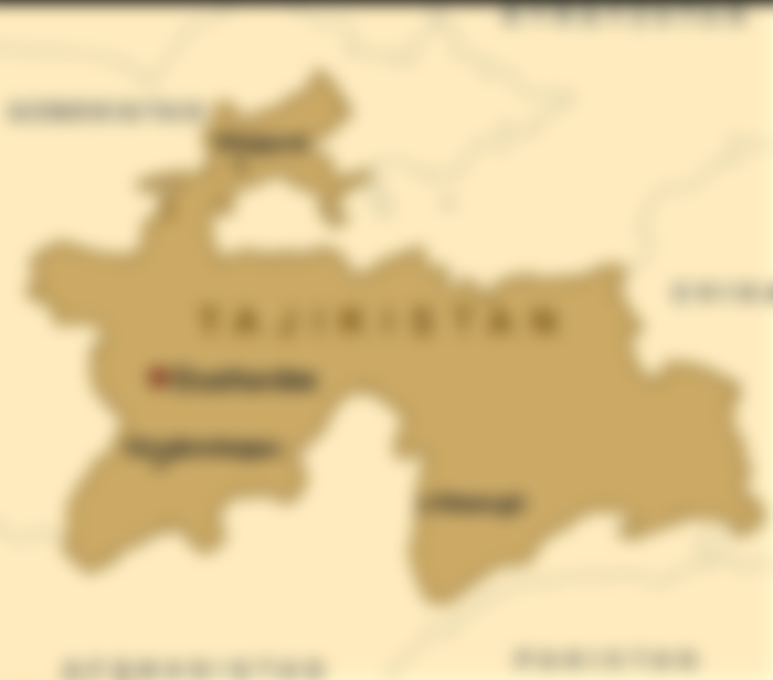
4) Tajikistan


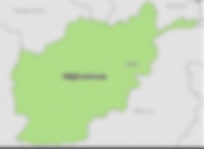
5) Afghanistan (see northeast). This part is the result of the 'buffer zone' between the then Soviet Union and British India.


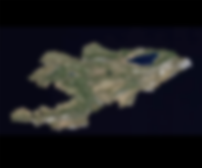
6) Kyrgyzstan (located in Central Asia, looks a lot like a fish)

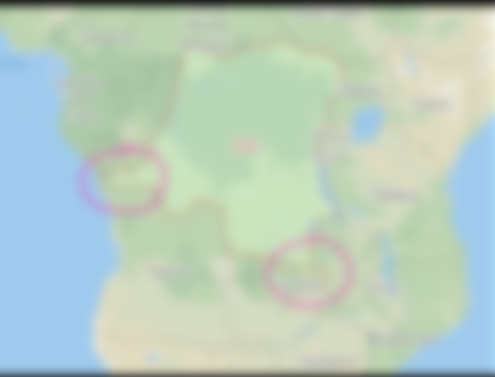
7) Congo

A small part of the country is connected to the Atlantic Ocean because their former colonial ruler, the Belgians, entered the Congo through this route
A southern part of the country has almost divided their southern neighbor, Zambia, into two separate parts. The Belgian colonists occupied the territory because they had many essential natural resources. As a result, the territory is still part of the Congo.
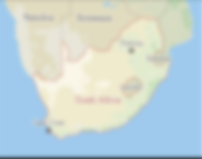
8) South Africa
There is a hole in the country. This hole is actually another country known as Lesotho

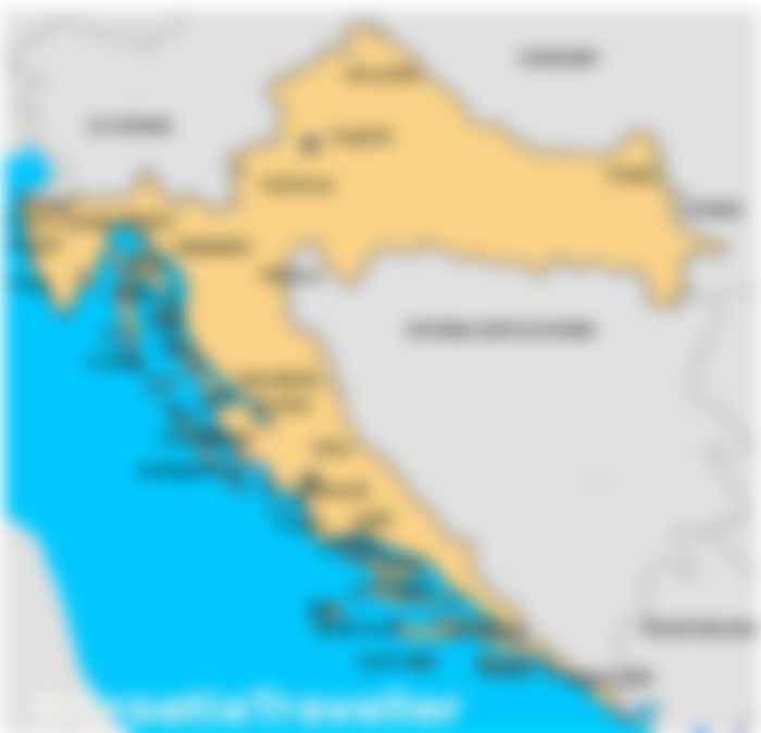
9) Croatia
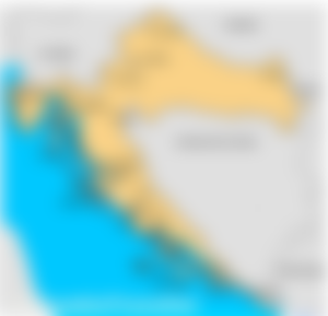

The country seems to have stolen the coast of neighboring Bosnia.

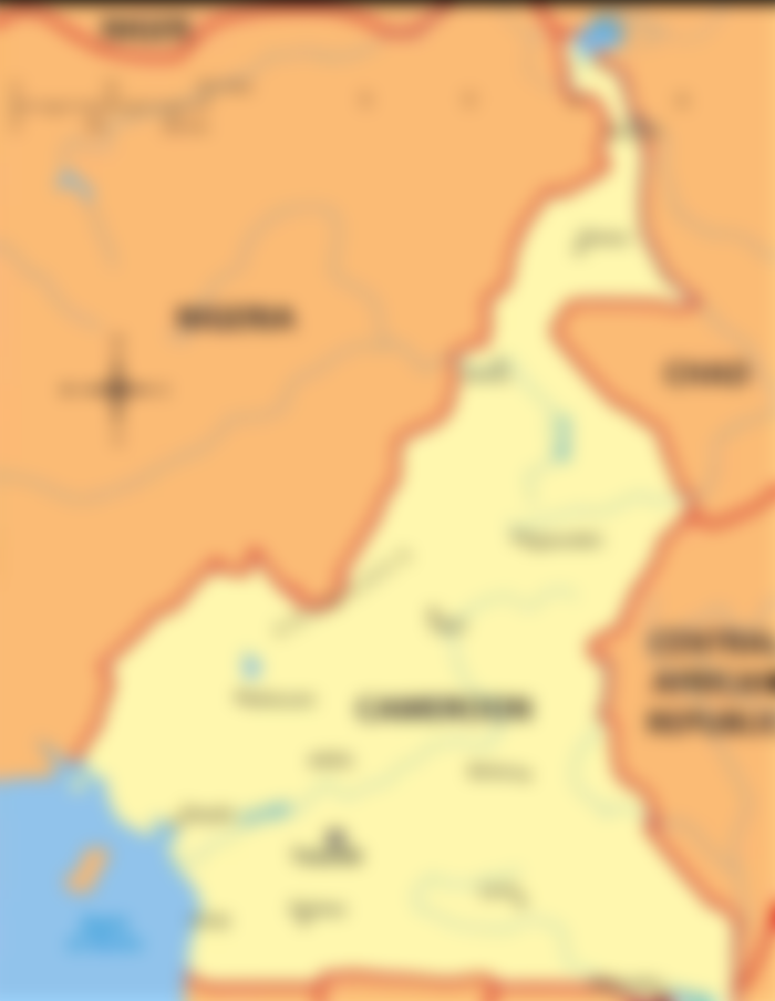
10) Cameroon (see narrow section to the north)


11) Israel

A very sensitive example. Some countries recognize Israel, some recognize Palestine and some recognize both. But when you look at Israel, excluding the Palestinian territories (Gaza and the West Bank), it seems strange:

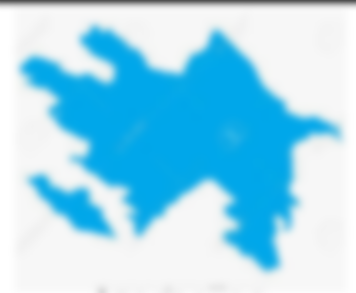
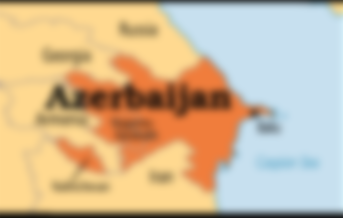
12) Azerbaijan (Armenia seems to have cut the country in two)




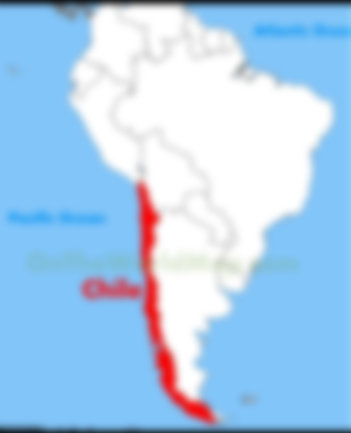
13) Chile (narrow but very long)


