

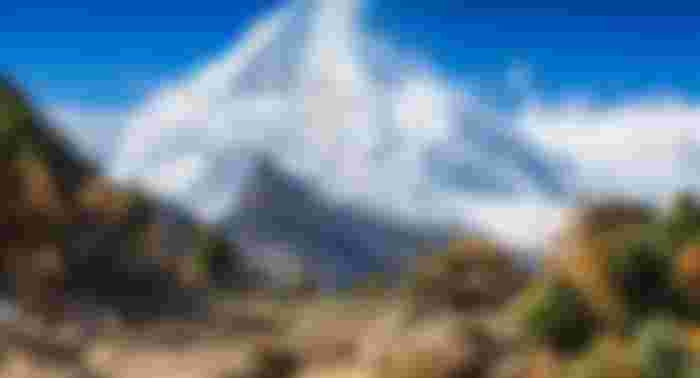
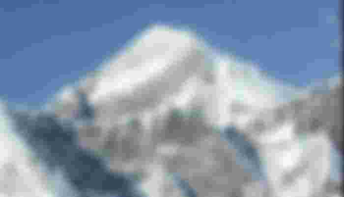
The highest and youngest mountain range in the world. It is not a single class or garland, but rather a continuous class, placed at great distances in almost parallel streams to each other. Again somewhere the two streams have merged into one. In the meantime, there are numerous valleys, tributaries and dunes scattered. The Himalayan range and its ascending peaks rise from the plains to the foothills, including the famous Mount Everest (6,848 m), Mount K2 (6,610 m), and Kanchenjunga (8,575 m). Some of these mountains are transverse or horizontal to the main Himalayan range. These are Assam Range, Manipur Range, Arakan Yoma, Chittagong Hill Tracts, Pegu Yoma etc. The Himalayas and other Central Asian mountains rise from the roof of the earth, the Pamir Plateau, and spread in different directions. The Himalayas extend from the Pamir Plateau to the north, west and east of the Indian subcontinent and to the south-east. The eastern part of this mountain range is narrower than the western part and is very close to each other. As a result, they have suddenly risen to the highest heights. This is why their snow-capped peaks, such as Kanchenjunga, are visible from the northern part of Bangladesh. The main ranges of the Himalayas cover an area of about 3000 km between the borders of Afghanistan and Myanmar.

Geographically, the Himalayas cover vast tracts of land from the Indus River at Gilgit in Pakistan to the southern bend of the Brahmaputra River in southeastern Tibet via India, Tibet, Nepal, eastern India and Bhutan. Some important rivers, such as the Indus, the Sutlej, the Kali, the Teesta and the Brahmaputra, run horizontally across the Himalayas. The part of the Himalayas between the Indus and Shatadru rivers is known as the Himalayas of Punjab and Kashmir (563 km). The latter part between the Shatadru and Kali rivers is known as the Kumaon Himalayas (322 km) and the third part between the Kali and Teesta rivers is known as the Nepal Himalayas. The fourth section between Teesta and Brahmaputra is called Assam Himalayas (624 km).


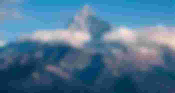
Geologically the Himalayas are sub-Himalayas (formed in the Shivalic sediments); Lower Himalayas (1500 to 3000 m altitude); The Higher Himalaya (3000 to 6000 m altitude), the Indus-Zangbo treaty belt and the Trans-Himalaya (Trans-Himalaya) can be divided into several parts. There are several snow-capped peaks above 6,000 meters in the high Himalayas, such as Everest, Annapurna, Manaslu.

The Himalayas were formed as a result of a collision between the Indian stomach and the Asian stomach. About 40 million years ago today, India separated from Gondwanaland and collided with the Asian landmass floating eastward. The central Tethys Sea is lost in the womb of southern Tibet by a subduction to the north, and this collision creates the Himalayan mountain range. The continuous northward movement of the Indian abdomen at a rate of about 5 cm per year for the last 40 million years has pushed it into the Asian abdomen and thrusting in the northern part of India, the Himalayas and China, Rising at a rate of a few millimeters, none of this is actually a reflection of massive contraction. The idea behind the geological evolution of the Himalayas is given by several models. Almost all models support the notion that the northern drift of India in the Mesozoic period, the Indus-Tsangpo confluence in the Cretaceous-pre-Tertiary period, and the collision between the Indian stomach and the Asian stomach in the Cenozoic period. Responsible for creation.

The continental collision between the Indian and Asian stomachs occurred between 65 million and 45 million years ago. The rise and fall of the Himalayas after the continental conflict was not a uniform event in the course of time, but an episodic part of a long event. The picture that emerges from the compilation of the data obtained is: the pre-Miocene (21 million to 16 million years ago) rise-naked phase; Post-Miocene (11 million to 60 million years ago) Emergence-Nudification phase and Quaternary Emergence-Naked phas.The Bengal Basin of Bangladesh is composed of mainly sedimentary sedimentary sediments from the eastern Himalayas in the north and the Indo-Burma range in the east. A massive ancient Paleo-drainage system from the eastern Himalayas descended into the Shivalik or Indobrahm rivers and flowed through present day Assam, bringing sedimentary sediments from the east into the Sylhet Basin (Surma Basin).
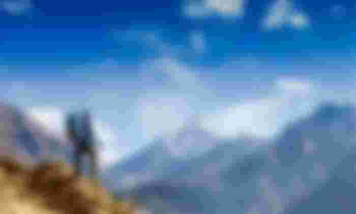

The sediments of the Chittagong region come from the Indo-Burma mountain range. Although the source of significant sedimentation in the Miocene layer of the Bengal Basin was probably the early rise of the eastern Himalayas. Although extensive exploration of the Himalayas began in the late nineteenth century, most of the information available about the mountains dates back to the 1950s. Sir Edmund Hillary and Tenzing Norgay first climbed Mount Everest, the world's highest peak, in 1953.


I wish i could visit this soon.