T Mac have the incredible record which scored 13 points in 33 seconds. Do you know what is more incredible before T Mac record.
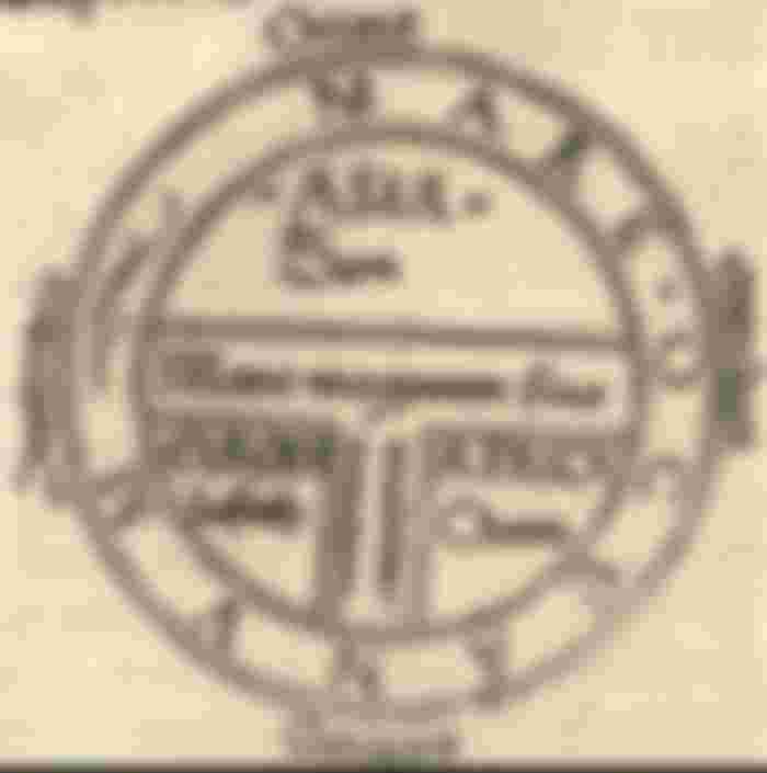
A T and O map or T-O map, is a type of medieval world map, representing the physical world as described by the 7th century scholar Isidore of Seville in his Etymologiae (chapter 14, de terra et partibus):
"The world is called 'round' after the roundness of a circle, because it is like a wheel . Because of this, the Ocean flowing around it is contained in a circular limit, and it is divided in three parts, one part being called Asia, the second Europe, and the third Africa."
Isidore therefore assumes a flat earth, shaped "like a wheel". This is in opposition to the spherical earth that had been the mainstream assumption at least since Aristotle, who had divided the spherical earth in five zones: The poles were freezing and the equatorial zone was so hot, no one could pass through it. In between the poles and the middle hot zone lay two temperate zones. I.e. the T is the Mediterranean, dividing the three continents, Asia, Europe and Africa, and the O is the encircling Ocean. Jerusalem was generally assumed to lie at the center of the circle.
The T-O map remained a customary representation, even after the spherical shape of the earth had become common knowledge once again in Europe, at the latest in the 11th century. It was presumably tacitly considered a convenient projection of the inhabited parts, the northern temperate clime. Since the southern temperate clime, the antipodes were considered uninhabited, or unattainable (Saint Augustine had considered the proposition of reaching the southern hemisphere "absurd"), there was no need to depict them on a world map.


The inhabited world of the northern land mass thus mapped consisted of the three continents of Africa, Asia and Europe, with the navel of the world, umbelicus mundi, always at Jerusalem. Asia was typically the size of the other two continents combined. The land on the map is divided into three parts by a "T" shape in which Asia occupies the top of the T area, Europe the bottom left and Africa the bottom right, within the "O" of the Ocean surrounding and separating them. Thus, North is to the left and South is to the right.
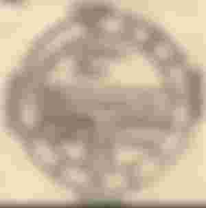
The T and O style of map is sometimes called a Beatine map or a Beatus map because one of the earliest known representations of this sort is attributed to Beatus of Liébana, an 8th century Spanish monk. The map appeared in the prologue to his twelve books of commentaries on the Apocalypse
Later maps of this same conceptual format featured many rivers and cities of Eastern as well as Western Europe, and other features encountered during the Crusades. Decorative illuminations were also added in addition to the new geographic features. The most important cities would be represented by distinct fortifications and towers in addition to their names, and the empty spaces would be filled with mythical creatures.