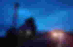
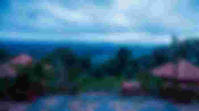
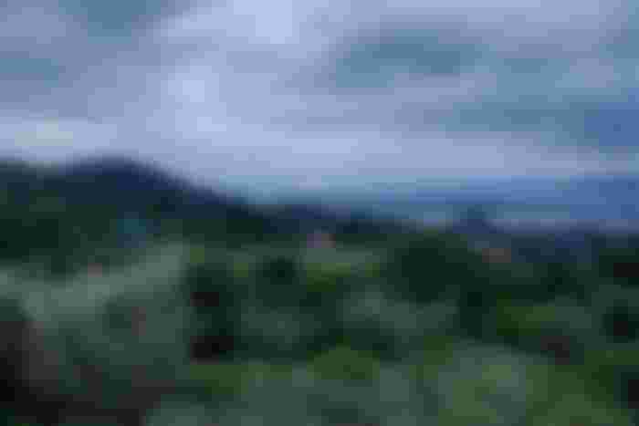
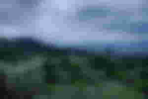
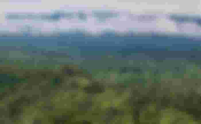
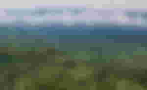
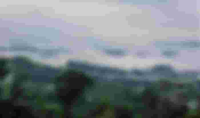
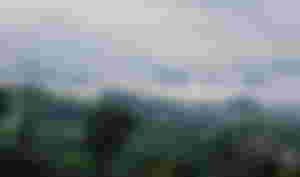
As far as the eye can see, small and big green hills. If you look from above, it is like the waves of the green sea. Clouds are stuck like white cotton in the middle of one hill after another. Sajek is an amazing place of tourism in the country. It is a union territory of Baghaichhari upazila in Rangamati district. Sajek is located northeast of Khagrachhari district and only 15 km from the border with the Indian state of Mizoram. There are two settlements called 'Ruilui' and 'Kanlak' in the hills. Lusai, Pangkhoa and Tripura tribes live here. Much of Rangamati can be seen from Sajek. That is why Sajek is called 'Rangamati roof'. Although Sajek is located in Rangamati district, it is easy to travel from Khagrachhari. The distance from Khagrachhari town to Sajek is 60 kilometers. Ruiluipara in Sajek is about 1,720 feet above sea level. And the Kanlak hill at an altitude of 1800 feet. Sajek wears colorful outfits throughout the year. However, in the rainy season, autumn and fall, the game of clouds is seen more around Sajek. So this is the best time to visit Sajak. Sajek's photos were taken on Friday, August 9.


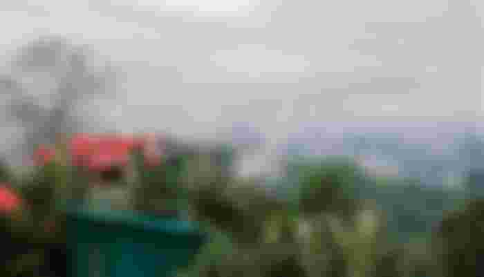
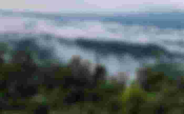
located in Rangamati district, it is easy to travel from Khagrachhari. The distance from Khagrachhari town to Sajek is 60 kilometers. Ruiluipara in Sajek is about 1,720 feet above sea level. And the Kanlak hill at an altitude of 1800 feet. Sajek wears colorful outfits throughout the year