 @Ingvictorg
more from that month
@Ingvictorg
more from that month
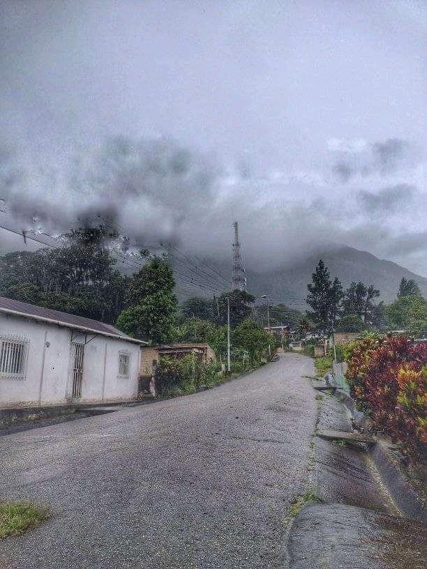
This beautiful photo belongs to the stone savanna town in Caripe Monagas, Venezuela. This path does not lead to Cerro Negro, the highest hill in Caripe. With a humid jungle vegetation, it reaches a height of 2,220 meters above sea level. To go to this beautiful place you must get guides who will show you the route to reach the top of the mountain, highlighting that it is a strong path, where you must have resistance and desire to live this adventure. It is a route of 5 km and moderate difficulty with a positive slope of 960m. Then you go through several fields and following the path you arrive at a small spring where you can recharge water for the rest of the way. then after resting in the second section there are quite strong and exposed climbs for approximately 1 km. Which will give way to a more wooded vegetation and a cooler temperature until reaching the top. It is a trip that lasts between 5 or 6 hours walking a bit tiring but I assure you that it is worth it.
4 comments
The picture would be better if we could see the top. We cant, there's some grey clouds in front of the top of the mountain. It's like me a taking a photo of someone but hiding the face. The mountain wants to be shown. :D I hope you show us a better picture in the future @ingvictorg
Tome en cuenta du sugerencia. Puede pasar por mi nuevo post
Gracias!
it's fine. if there are enough clouds. because the mist abounds. but I'll be waiting for your suggestion